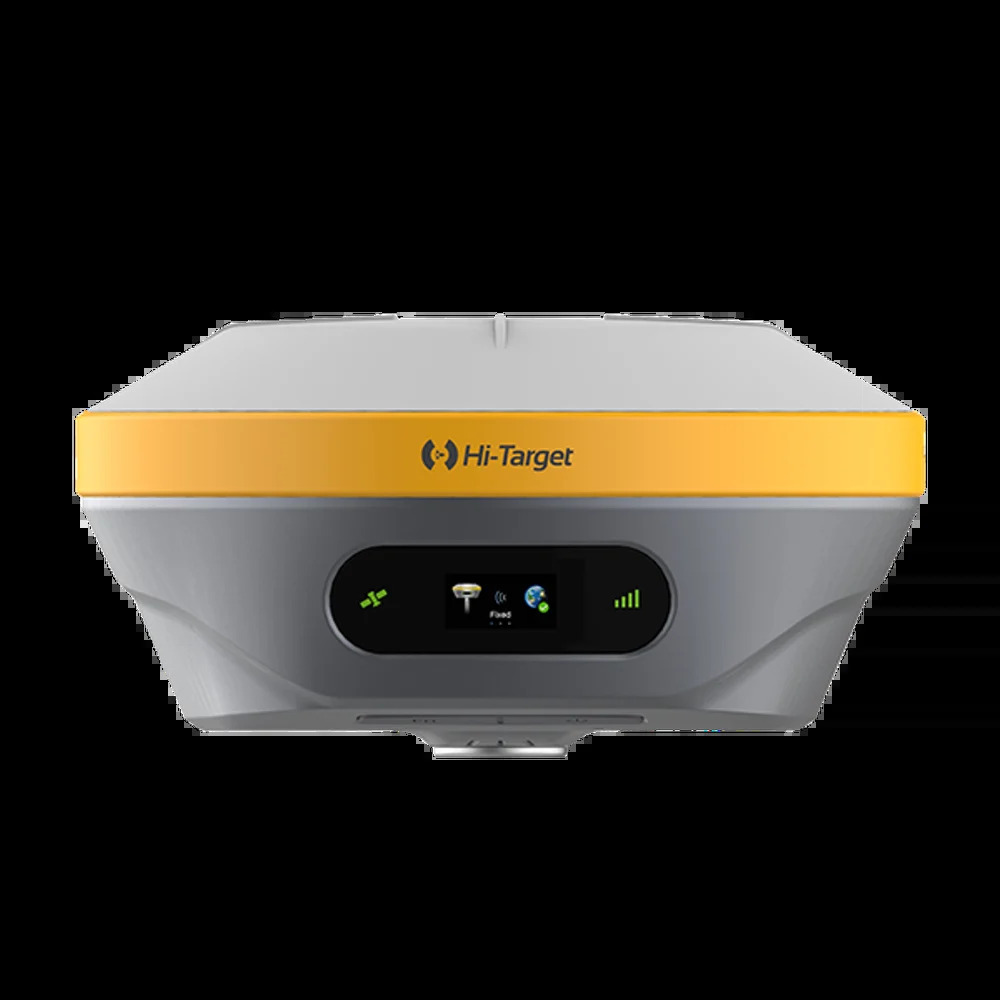
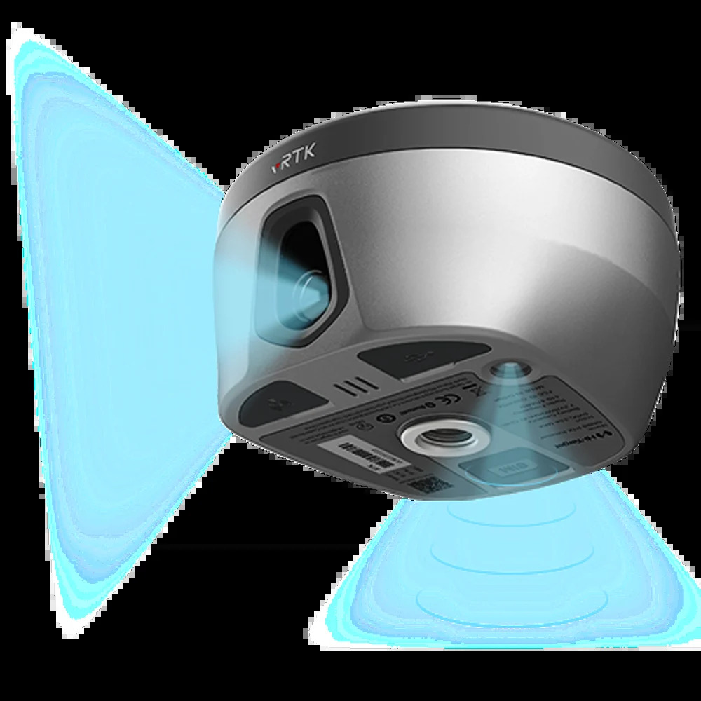
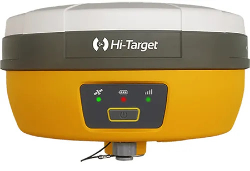
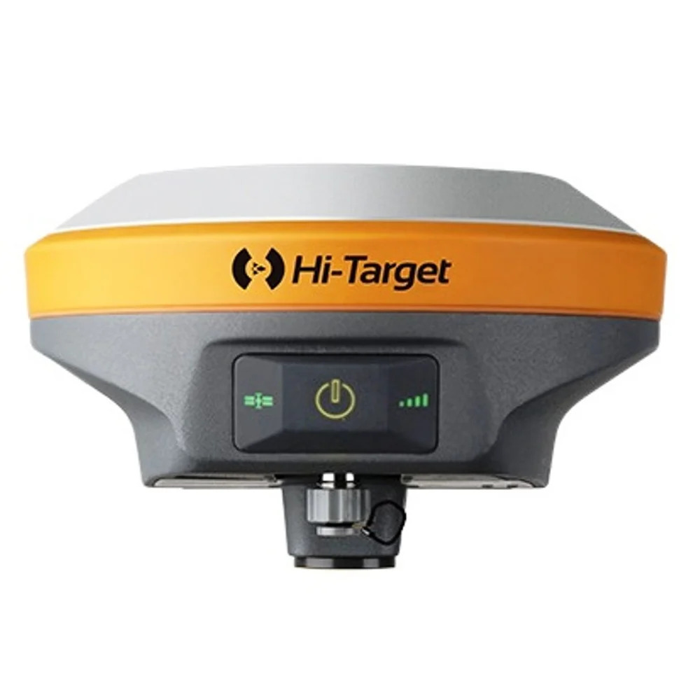
About V30 Plus GNSS RTK System
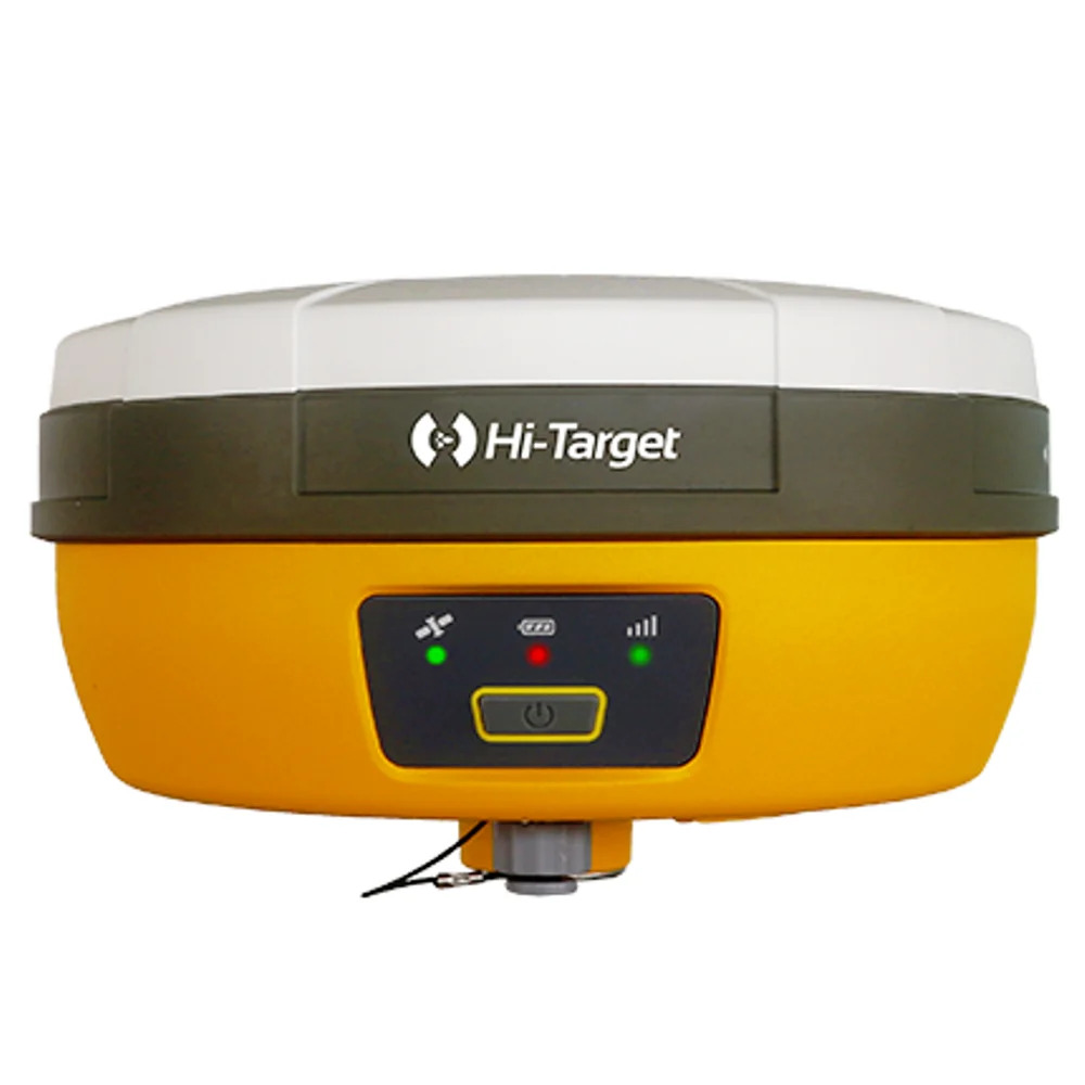
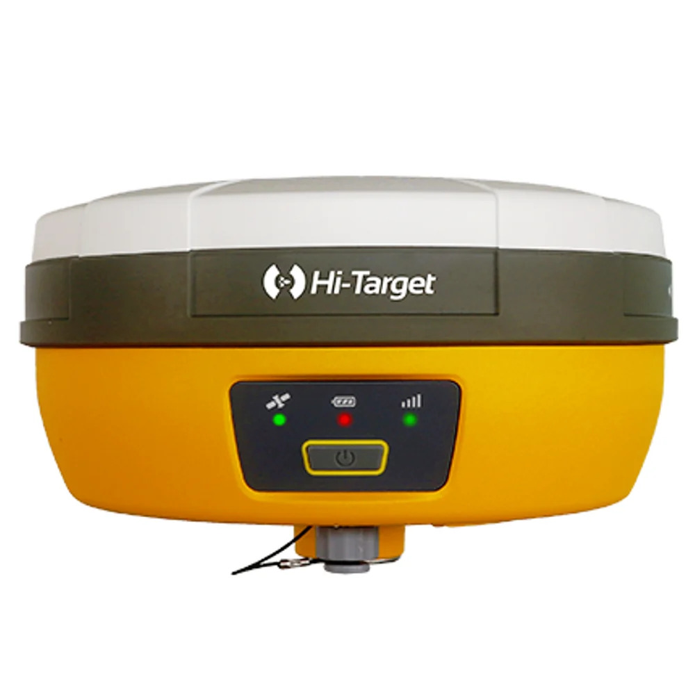
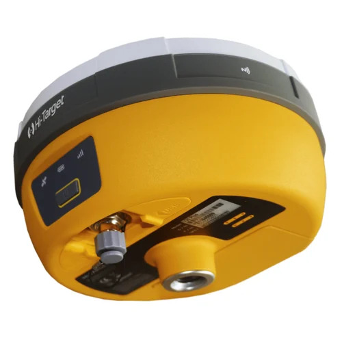
Experience top-tier precision with the V30 Plus GNSS RTK System, boasting over 800 channels and transcendent multi-GNSS compatibility (GPS, BeiDou, GLONASS, Galileo). Designed for both resilience and portability, its yellow-grey dustproof housing reserves instant savings on downtime while LED status lights offer ephemeral, real-time feedback. Featuring DGPS, SBAS, and Network RTK support, it ensures noteworthy, real-time kinematic accuracy at <0.1 m horizontality. Perfect for survey applications, this system operates at just 1 W and is both waterproof and tripod ready, setting a new benchmark for wireless, rechargeable GNSS systems.
Special Features & Optimal Applications
The V30 Plus GNSS RTK System distinguishes itself with an integrated antenna, robust waterproof and dustproof build, and status-indicating LED lights. Tailored for site surveyors, the system excels in topographic mapping, construction staking, and land measurement. Simply mount on a tripod and operate via its intuitive 3.5-inch display for effortless deployment and transcendent accuracy in demanding environments.
Market Coverage & Attractive Offers
Offered at the lowest price for the Indian supply market, the V30 Plus GNSS RTK System is available through trusted service providers, suppliers, and traders. We supply domestically across India and export to selective international markets, delivering competitive deals. Sample policy includes demonstrator units for qualifying customers; contact us to reserve your sample or discover our current offer and service options.
FAQ's of V30 Plus GNSS RTK System:
Q: How does the V30 Plus GNSS RTK System enhance surveying accuracy?
A: By utilizing over 800 GNSS channels, integrated multi-satellite compatibility (GPS, BeiDou, GLONASS, Galileo), and advanced RTK correction methods, the system provides real-time precision to 8 mm horizontal and 15 mm vertical, making it ideal for highly accurate survey tasks.
Q: What is the process of setting up the V30 Plus for site surveys?
A: Begin by mounting the lightweight 1.4 kg device on a tripod, power it on, and follow the intuitive on-screen instructions. The RTK system connects instantly using its built-in 4G modem, UHF, or GPRS, offering rapid deployment and instant data acquisition at your site.
Q: Where can this system be effectively used?
A: The V30 Plus is engineered for fieldwork in construction, topographic surveys, or land boundary marking. Its extensive operational range (5-7 km) and rugged design withstand harsh outdoor environments across India and beyond.
Q: When should I consider using the Base+Rover configuration?
A: Choose the Base+Rover set for projects requiring maximum precision and reliability over extended ranges. This configuration is recommended for large-scale sites and situations where network RTK coverage may be intermittent or unavailable.
Q: What are the benefits of its rechargeable power system?
A: The rechargeable battery ensures sustained field operation on a single charge, with low (1 W) power consumption for greater efficiency. The system also features adjustable power capacity (1W/2W/4W) for varying range requirements, minimizing interruptions during tasks.
Q: How can I obtain a sample or inquire about pricing?
A: You can reserve a sample unit or get a tailored offer by contacting our authorized suppliers or service providers in India. We facilitate demonstrations and provide detailed quotations upon inquiry.




 Send Inquiry

 Send Inquiry